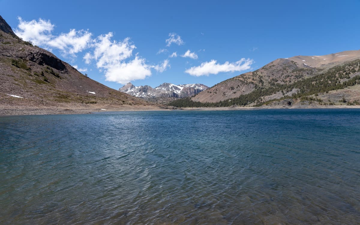
At 10,087 feet, Saddlebag Lake is the highest car-accessible lake in California. This high-country, alpine lake will make you feel as you are on top of the world. Even the journey to the lake is an experience in itself as you drive along bumpy, unpaved, and narrow Saddlebag Lake Road.
Located within walking distance of the lake is Saddlebag Campground with 19 sites and one group site.
Video
Directions
Saddlebag Lake is located in the Tioga Pass between Lee Vining and Yosemite National Park.
From Highway 395 in Lee Vining, turn west on State Route 120 (Tioga Pass). Continue on State Route 120 (Tioga Pass) for 9.9 miles to reach Saddlebag Lake Road. Turn right on Saddlebag Lake Road. Continue on Saddlebag Lake Road for 2.4 miles to reach the lake.
GPS Coordinates: 37.967992,-119.271765
Map
Nearby Fishing
| Lake Name | Miles Away |
|---|---|
| Ellery Lake | 2.92 miles |
| Tioga Lake | 3.12 miles |
| Lundy Lake | 4.79 miles |
| Virginia Lakes | 5.47 miles |
| Virginia Creek | 5.85 miles |
| Lee Vining Creek | 7.11 miles |
| Mill Creek | 7.53 miles |
Nearby Campgrounds
| Campground Name | Miles Away |
|---|---|
| Saddlebag Campground | 0.26 miles |
| Sawmill Walk-in Campground | 0.72 miles |
| Junction Campground | 2.33 miles |
| Ellery Camp Campground | 2.54 miles |
| Tioga Lake Campground | 2.95 miles |
| Big Bend Campground | 4.15 miles |
| Aspen Campground | 5.06 miles |
| Lundy Canyon Campground | 5.81 miles |
| Moraine Campground | 6.64 miles |
| Lower Lee Vining Campground | 7 miles |