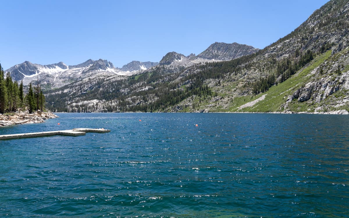
South Lake is a beautiful high-country lake located on the south fork of Bishop Creek at an elevation of 9,755 feet. The man made lake was created by a small dam located at the north side of the lake where it empties into the south fork of Bishop Creek.
The lake marks the end of the road of South Lake Road. Those wishing to explore higher elevation lakes will have to hike from here. Luckily, there are many trails to choose from that begin at South Lake. Trails that start at South Lake include Bishop Pass Trail, South Lake Trail, Long Lake Trail, and Piute Pass Trail.
While there are no campgrounds found at the lake, several campgrounds are only a short drive away. This includes Willow Campground, Table Mountain Group Campground, and Mountain Glen Campground.
Directions
From Highway 395 in Bishop, turn west on State Route 168 (West Line St). Continue on State Route 168 (West Line St) for 15 miles to S Lake Rd. Turn left on S Lake Rd. Continue on S Lake Rd for 6.9 miles to reach the lake.
GPS Coordinates: 37.170424,-118.567948
Map
Nearby Fishing
| Lake Name | Miles Away |
|---|---|
| Lake Sabrina | 3.76 miles |
| North Lake | 4.92 miles |
Nearby Campgrounds
| Campground Name | Miles Away |
|---|---|
| Willow Campground | 1.66 miles |
| Table Mountain Group Campground | 2.6 miles |
| Mountain Glen Campground | 3.69 miles |
| Sabrina Campground | 3.99 miles |
| North Lake Campground | 5.12 miles |
| Lower Intake 2 Campground | 5.31 miles |
| Bishop Park Group Campground | 5.31 miles |
| Upper Intake 2 Campground | 5.32 miles |
| Bishop Park Campground | 5.34 miles |
| Four Jeffrey Campground | 5.42 miles |
| Forks Campground | 5.75 miles |
| Big Trees Campground | 6.54 miles |
| Big Pine Creek Campground | 7.94 miles |
| Bitterbrush Campground | 8.06 miles |
| Clyde Glacier Group Campground | 8.49 miles |
| Palisade Glacier Group Campground | 8.51 miles |
| Upper Sage Flat Campground | 8.56 miles |
| Sage Flat Campground | 9.09 miles |