Fees
$28.00 per night
Reservations are not accepted.
Season Dates
Due to road construction, this campground will remain closed for the remainder of the 2024 season.
Video
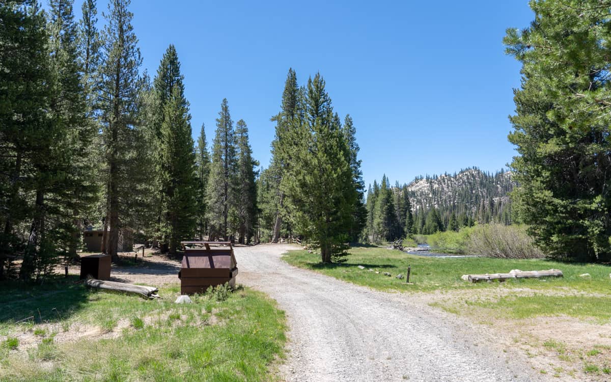
Directions
From Highway 395, turn west on Highway 203 towards Mammoth Lakes. Continue on Highway 203 for 3.8 miles to Minaret Road. Turn right on Minaret Road. Continue on Minaret Road for 5.4 miles to reach Minaret Vista Station. Continue past Minaret Vista Station onto Postpile Road. Continue on Postpile Road for 6 miles to reach the turn off for the campground on the right.
GPS Coordinates: 37.63968,-119.08291
Map
Nearby Campgrounds

Pumice Flat Group Campground0.6 miles away

Pumice Flat Campground0.8 miles away
Upper Soda Springs Campground0.9 miles away

Reds Meadow Campground1.5 miles away